
Turn on suggestions
Auto-suggest helps you quickly narrow down your search results by suggesting possible matches as you type.
Showing results for
Please log in to access translation
Turn on suggestions
Auto-suggest helps you quickly narrow down your search results by suggesting possible matches as you type.
Showing results for
- Community
- ThingWorx
- ThingWorx Developers
- Re: Displaying the country names on google map
Translate the entire conversation x
Please log in to access translation
Options
- Subscribe to RSS Feed
- Mark Topic as New
- Mark Topic as Read
- Float this Topic for Current User
- Bookmark
- Subscribe
- Mute
- Printer Friendly Page
Displaying the country names on google map
Oct 27, 2016
05:47 AM
- Mark as New
- Bookmark
- Subscribe
- Mute
- Subscribe to RSS Feed
- Permalink
- Notify Moderator
Please log in to access translation
Oct 27, 2016
05:47 AM
Displaying the country names on google map
Dears ,
I wanted to point out the different places on google map.
am a newbie,
Please and kindly help me how can i do it with an example
Solved! Go to Solution.
Labels:
- Labels:
-
Mashup-Widget
-
Troubleshooting
ACCEPTED SOLUTION
Accepted Solutions
Oct 28, 2016
07:44 AM
- Mark as New
- Bookmark
- Subscribe
- Mute
- Subscribe to RSS Feed
- Permalink
- Notify Moderator
Please log in to access translation
Oct 28, 2016
07:44 AM
Hi Sruchan,
Please follow this to get your ans : How to set multiple marker in google Map in Mashup ?
For that you need to create a service and return parameter as a Info Table , In mashup add this service and bind it's result in to map.
Thanks,
Mayank
5 REPLIES 5
Oct 28, 2016
07:44 AM
- Mark as New
- Bookmark
- Subscribe
- Mute
- Subscribe to RSS Feed
- Permalink
- Notify Moderator
Please log in to access translation
Oct 28, 2016
07:44 AM
Hi Sruchan,
Please follow this to get your ans : How to set multiple marker in google Map in Mashup ?
For that you need to create a service and return parameter as a Info Table , In mashup add this service and bind it's result in to map.
Thanks,
Mayank
Oct 28, 2016
06:47 PM
- Mark as New
- Bookmark
- Subscribe
- Mute
- Subscribe to RSS Feed
- Permalink
- Notify Moderator
Please log in to access translation
Oct 28, 2016
06:47 PM
thank you for the reply
Can you please tell me with an example locatIon with step by step procedure.
It would be a great help and good starting point for me to learn ..
Oct 28, 2016
06:52 PM
- Mark as New
- Bookmark
- Subscribe
- Mute
- Subscribe to RSS Feed
- Permalink
- Notify Moderator
Please log in to access translation
Oct 28, 2016
06:52 PM
i am following your source code, as shown in the screen shot
As it is not very straight forward I couldn't understand how to use it
Please and kindly tell me how I can use it 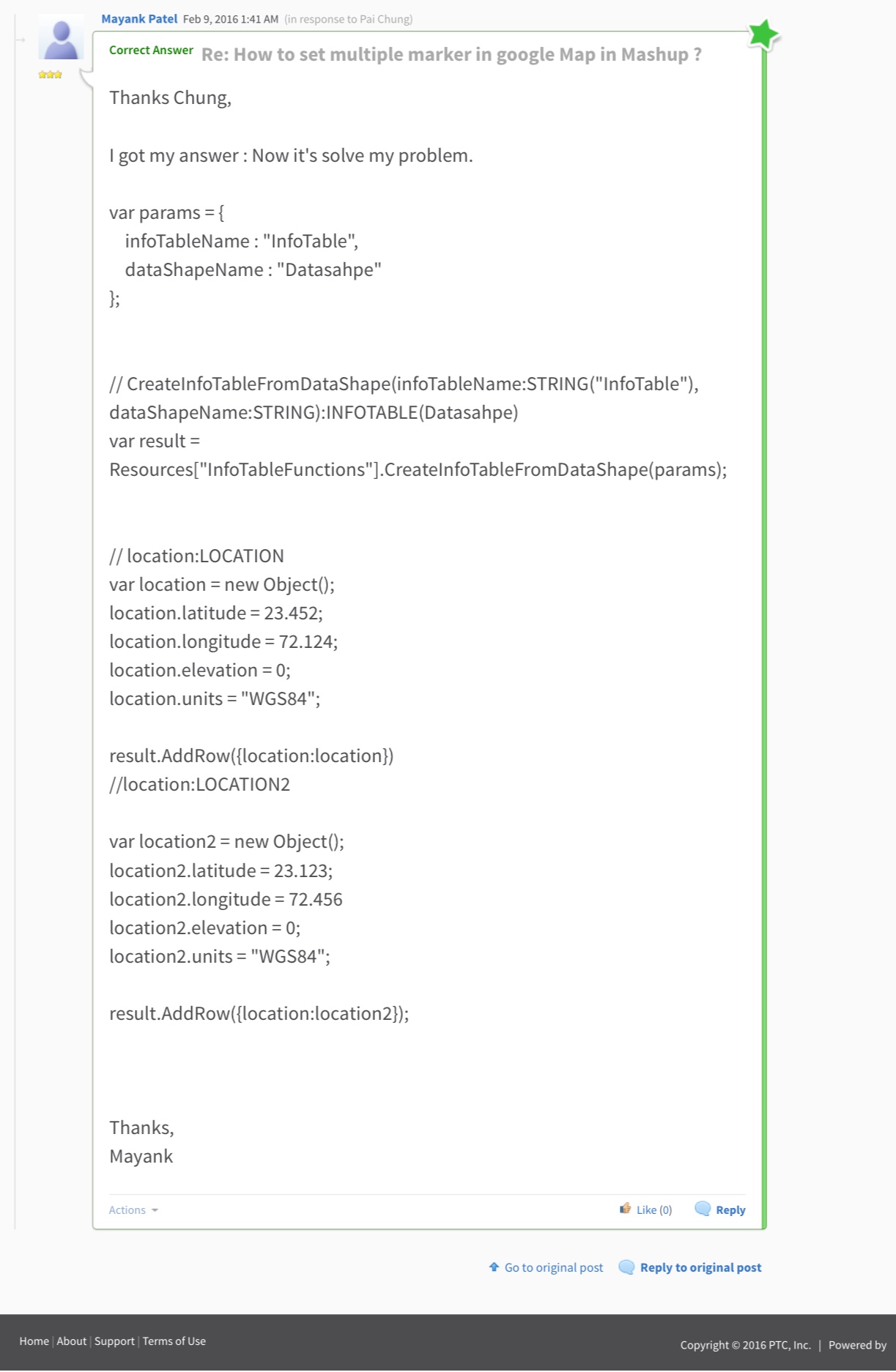
Oct 28, 2016
08:13 PM
- Mark as New
- Bookmark
- Subscribe
- Mute
- Subscribe to RSS Feed
- Permalink
- Notify Moderator
Please log in to access translation
Oct 28, 2016
08:13 PM
Hello Mayank
I have tried this
1. i created a thing , declared a property called loc with location property
2. i created service
and created a infotable with the help of ur scource code as shown below
var params = {
infoTableName : "InfoTable",
dataShapeName : "DataShape"
};
// CreateInfoTableFromDataShape(infoTableName:STRING("InfoTable"), dataShapeName:STRING):INFOTABLE(DataShape)
var result = Resources["InfoTableFunctions"].CreateInfoTableFromDataShape(params);
// location:LOCATION
var location = new Object();
location.latitude = 23.452;
location.longitude = 72.124;
location.elevation = 0;
location.units = "WGS84";
result.AddRow({location:location});
//location:LOCATION2
var location2 = new Object();
location2.latitude = 23.123;
location2.longitude = 72.456
location2.elevation = 0;
location2.units = "WGS84";
result.AddRow({location:location2}); // You can Add multiple marker using Add row.
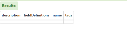
But when i tried to test the service the output is empty
Oct 31, 2016
07:51 AM
- Mark as New
- Bookmark
- Subscribe
- Mute
- Subscribe to RSS Feed
- Permalink
- Notify Moderator
Please log in to access translation
Oct 31, 2016
07:51 AM
Did you set your Service Output to InfoTable and then I also advice you assign the Proper DataShape to it as well.
btw since this is a platform there are quite a few ways to accomplish this.
One thought is to have a Thing per country all based on the same ThingTemplate and then you can add other properties/meta data including the location
then you can use GetImplementingThingsWithData to get the Countries, their locations and other information to use all at once.


